Beyond the census with smart data
Measuring and correcting biases in human mobility data
A groundbreaking research project, supported by Smart Data Research UK accelerator scheme, could transform how governments study population change. Researchers from the University of Liverpool want to use human mobility data to tackle a range of social challenges – from housing shortages to healthcare and transport provision, and climate change.
At a glance
DEBIAS is software that corrects biases in smart data, providing accurate, near real-time analysis of population movements
Supports critical policy areas including healthcare planning, urban development, disaster response, and migration studies
Methodology will be shared via CRAN and GitHub, encouraging global research collaboration and transparency in smart data analysis
Supported by the UN and Meta

What problem does this research address?
For years, we’ve used the census (and other traditional data sources) as the primary way to monitor the population. While the census provides a comprehensive picture of our national population, it only represents UK society at a single point in time, every ten years. The census can rapidly become outdated, unable to inform fast-moving policy challenges.
The emergence of smart data provides new opportunities for researchers and policymakers. It offers near real-time information about where people live, work, and move.
But there’s a challenge. Often, smart data gathered from smartphones and social media is ‘biased’, meaning it’s not representative of the whole of society. For example, data might over-represent younger, tech-savvy populations while missing older residents who use smartphones less frequently, or deprived communities that may not have access to certain technologies.
The researchers at the University of Liverpool have developed DEBIAS – a new piece of software that will analyse and correct biases in location data from digital platforms such as Meta-Facebook and smartphone applications. The methodology will produce population-level estimates of the flow of people as they get from A to B. Crucially, it will offer a transformative solution to the challenge of supplementing census information.
Breaking new ground in population studies
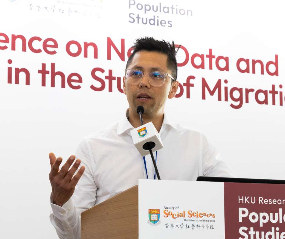
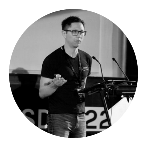
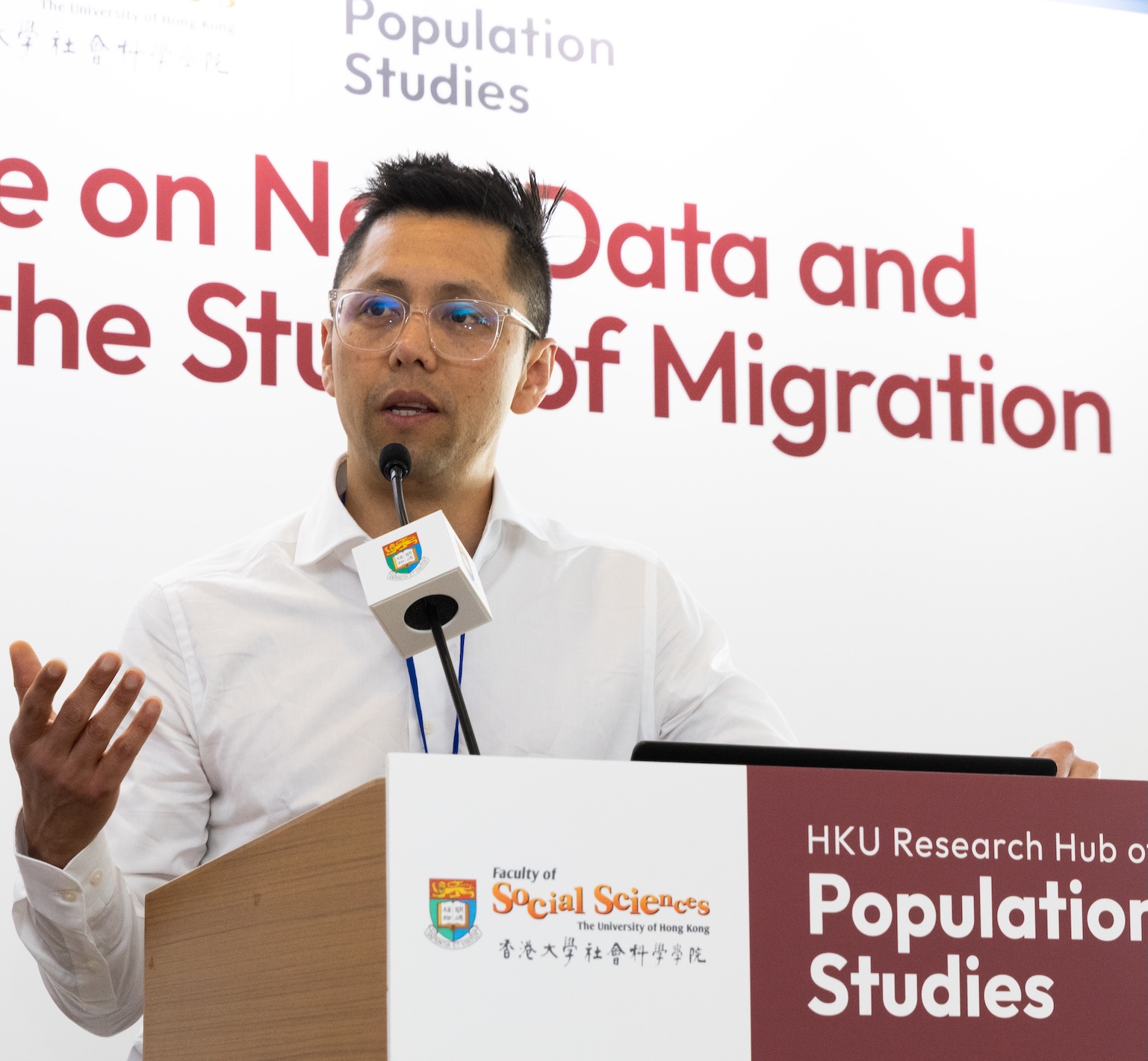
Project’s leader, Professor Francisco Rowe, brings extensive expertise in understanding population dynamics. As head of the University of Liverpool’s Geographic Data Science Lab, he has long been interested in how location influences economic and social patterns.
“I became fascinated with how location shapes productivity,” explains Francisco, who began his career studying economics in his native Chile before pursuing a Masters in regional economics.
Francisco’s subsequent doctoral research in Australia deepened his interest in how technology influences human behaviour patterns.
It was during his post-PhD work with local government in Australia that Francisco encountered a fundamental challenge: trying to understand population movement patterns with only census data at his disposal. Just as he grappled with this limitation, the emergence of social media and smart card technology opened new possibilities.
Francisco again: “When we rely solely on census data, we’re looking at a static snapshot taken every few years. With DEBIAS, we’re developing the capacity to see population movements dynamically – almost like switching from photographs to video. This allows policymakers to respond to changes as they happen, not years after the fact. The challenge is ensuring this real-time data accurately represents everyone, not just smartphone users or social media participants. That’s the gap DEBIAS aims to fill.”
“With DEBIAS, we’re developing the capacity to see population movements dynamically – almost like switching from photographs to video”.
Professor Francisco Rowe
Beyond traditional methods
While the census has traditionally been central to population monitoring, changing times demand new approaches. “Many countries have stopped or are planning to stop running censuses and fewer people respond to surveys,” Francisco notes. “So how we can safely and securely leverage location data from mobile phones in a way that protects personal privacy to provide a representative picture of the population?”
The answer could lie in the DEBIAS framework. The methodology will offer an accurate portrayal of population movement with the potential to be deployed in scenarios such as natural disasters or humanitarian response events requiring real-time information in contexts where data gathering is not possible.
DEBIAS is also addressing ethical concerns around smart data. Location data from digital platforms is more accessible and constantly updating, but it raises a number of ethical concerns if not used responsibly. DEBIAS aims to correct biases in data forms that ensure privacy and anonymisation.
Smart mobility data opening new streams of research
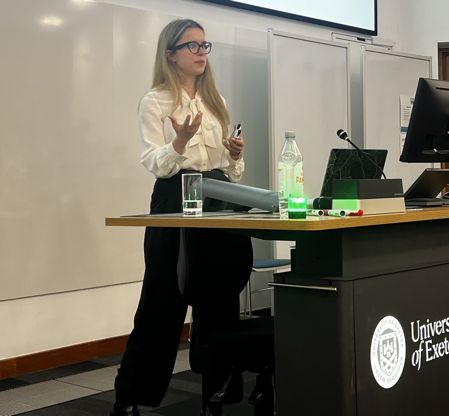
Co-investigator Dr Carmen Cabrera, Assistant Professor in Geographic Data Science, brings interdisciplinary expertise in geographic data science, human mobility, and network analysis to DEBIAS.
For Carmen, the project is an opportunity to use smart data to understand population movements at spatio-temporal scales that weren’t possible before but there are challenges to overcome.
“We saw how smart data was increasingly used to analyse mobility patterns and trends, notably during the COVID-19 pandemic”, Carmen explains. “For example, around 80% of the UK total population were Facebook monthly active users as of January 2025; that is, logged into Facebook at least once in the past 30 days. But biases in smart data have represented a major barrier to reaping the benefits of these data.”
What’s happening next?
Over the coming months, the DEBIAS team will be inputting data and refining their modelling until they have a viable framework to share with the research community and policymakers.
The plan is to make the methodology available to others via the open-access software repositories, CRAN and GitHub. It’s part of the DEBIAS team’s commitment to transparency, reproducibility and portability. The team hopes this shared environment will also encourage co-development. They are developing an open access book to pass on their learnings. The book will share what is considered to be best practice in the use of mobile phone location data for the analysis of human mobility.
During the development phase, the Liverpool researchers will use data from the UK, but the framework they create will be reproducible and transferable to any smart location data source and geographical setting.
Implications for policy and planning
Both Francisco and Carmen recognise there is a growing appetite within governments for information gathered from smart data sources.
Francisco has been invited to the United Nations Committee of Experts on Big Data and Data Science for Official Statistics, and to the Cohort 1 Launch Workshop of Global Data Facility Mobile Phone Data (GDF-MPD) Program for Policy, to support Brazil in developing a roadmap to integrate mobile phone data capabilities into its national statistics infrastructure. Francisco is also co-lead on the Mobile Phone Data Task Team of the UNCEBD.
The two researchers are hopeful the DEBIAS technology will benefit policymakers as well as the research community.
By creating software that is versatile, able to work with any type of aggregated movement data (people, animals, information, flight patterns or business transactions), it has the potential benefit a wide range of policymakers and researchers.
Governments might use the enhanced data insights to support a number of areas, including:
- Better predicting and responding to housing needs across different neighbourhoods
- Planning or improving healthcare facilities based on actual population movement patterns
- Improving public transport planning
Spreading the word
In March 2025, Francisco attended a stakeholder workshop to illustrate the use of smart location data and DEBIAS to assist in identifying affected areas and populations in disaster contexts. The audience involved representatives from the International Organization for Migration and the UK Foreign, Commonwealth & Development Office.
In July 2025, the researchers are scheduled to attend the International Union for the Scientific Study of Population in Australia. Here, they will deliver workshops on using smart location data to analyse population dynamics, training the next generation of scientists.
Closer to home, Francisco and Carmen will organise mobility and smart data workshops in Liverpool. This will allow academics from within their team and beyond to get the chance to demo the new methodology.
Both researchers actively collaborate with the UN, particularly on its programmes on population displacement and migration. They have been sharing insights from DEBIAS with their UN colleagues in monthly meetings.
The team has also established an advisory board with expertise from academia as well as the commercial (Meta) and transgovernmental (UN) sectors.
Find out more
Discover more about the DEBIAS project and meet Professor Francisco Rowe in this short film:
Smart Data Research UK would love to hear about your research!
Do you have a smart data case study to share? Contact our team at smartdataresearch@ukri.org to showcase your work.