
Imago Data Service for Imagery
At a glance
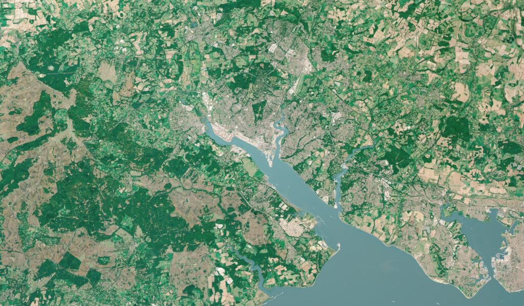
Explore information derived from various satellite imagery sources
Access research-ready and customised datasets
Study environmental vulnerability, urban development and housing, inequalities, and wellbeing
User-friendly platform for social scientists, health researchers and policymakers
About
Unlocking the potential of satellite imagery to provide a richer understanding of urgent challenges facing the UK.
Imago Data Service for Imagery is a data service that transforms the utility of satellite imagery to revolutionise our understanding of issues such as environmental vulnerability, urban development, housing, health and wellbeing.
Imago will achieve this goal by translating complex imagery data into data products researchers and policymakers require, delivering them through intuitive and user-friendly interfaces.
The team will grow capacity for using imagery-based data across a range of sectors, career stages, and disciplines.
Data focus
- High-resolution satellite imagery across urban and rural environments
- Remotely sensed imaging including nighttime lights, radar, or pollution, processed for applications in social sciences, public health, and policymaking
- Intuitive metrics for sustainability, prosperity and wellbeing, derived from imagery across space and over time
What’s coming?
- Engagement events with application partners and stakeholders to identify priorities
- Data products that translate pixels into insights through AI, delivered to users in familiar formats, multiple geographies, and intuitive interfaces
- Open training materials to demystify the use of imagery in social science, public health, and policymaking
- Community events to nurture the creation, adoption, and use of imagery in non-traditional contexts
Satellite imagery supports planning decisions
Satellite imagery can help provide accurate assessments of air pollution and house prices, which have traditionally relied on extensive and expensive ‘on-the-ground’ data collection.
In 2022, Imago members at the Alan Turing Institute partnered with the Geospatial Commission to explore how decisions about land use could be supported with geospatial data, including earth observation data and artificial intelligence.
The DemoLand project used data from multiple sources to predict quality-of-life indicators, including house prices and atmospheric pollution levels. The team studied data extracted from satellite images leveraged by foundation AI models. The findings showed satellite imagery can provide a powerful complement and supplement to these approaches.
The team
Imago brings together world-leading experts in earth observation, geographic data science, social science and public health. Leading the team are Professor Daniel Arribas-Bel from the University of Liverpool and Professor Rachel Franklin.


Contact Imago
Discover more about the Imagery Data Service at the Imago website or contact the team at imago@liverpool.ac.uk.